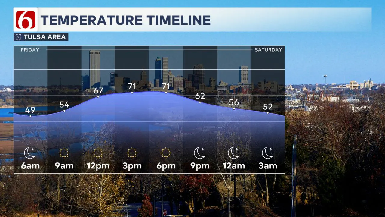
Six star weather returns to Green Country Friday before gusty south winds bring warmer weather Sunday.

Pleasant Weather Today Across Green Country
A surface ridge of high pressure is building across northern Oklahoma, bringing sunshine and light north winds. Morning lows in the 40s will give way to afternoon highs in the lower 70s. It’s a gorgeous day and should bring great weather for outdoor activities this evening. Temperatures will quickly drop into the 60s tonight, then into the 50s later.
 A Pattern Change Developing Soon
An upper-level system will develop over the Pacific Northwest early this weekend and push into the northern High Plains by Sunday and early Monday. In response, pressure falls along and east of the Rockies will kick up strong south winds across the central and southern Plains, including Oklahoma. Saturday morning will stay cool, with temperatures in the 40s, but by midday, gusty south winds of 15 to 25 mph will help push highs into the mid to upper 70s with plenty of sunshine.
 Sunday Brings Strong Winds and Near-Record Warmth
By Saturday night into early Sunday, stronger south winds will persist, driven by a strengthening pressure gradient. Winds will range from 20 to nearly 35 mph bringing Sunday morning's temperatures to near 60. Above average temperatures are expected Sunday afternoon with the Tulsa metro climbing into the mid to upper 80s. Areas along the I-35 corridor could see highs near 90, while southwestern Oklahoma may reach the upper 90s. Sunday should see the warmest day of the spring season so far.

Cold Front Arrives Early Monday
By Sunday night into early Monday morning, the main upper-level low shifts toward the Great Lakes, dragging a surface cold front quickly across the state. A warm air layer aloft (the cap) should keep thunderstorms from developing, meaning the front should pass through with no precipitation. However, north of the boundary, a few elevated showers could pop up over central Kansas.
Cooler Start to the Week Behind the Front
This front will continue south of the Red River and stall Monday and Tuesday across parts of Texas. Monday morning temperatures will start in the upper 50s and lower 60s, with daytime highs near 70. By Tuesday morning, lows will drop to the mid-40s, with highs approaching the lower 70s.
Midweek Pattern Shift Brings Storm Potential
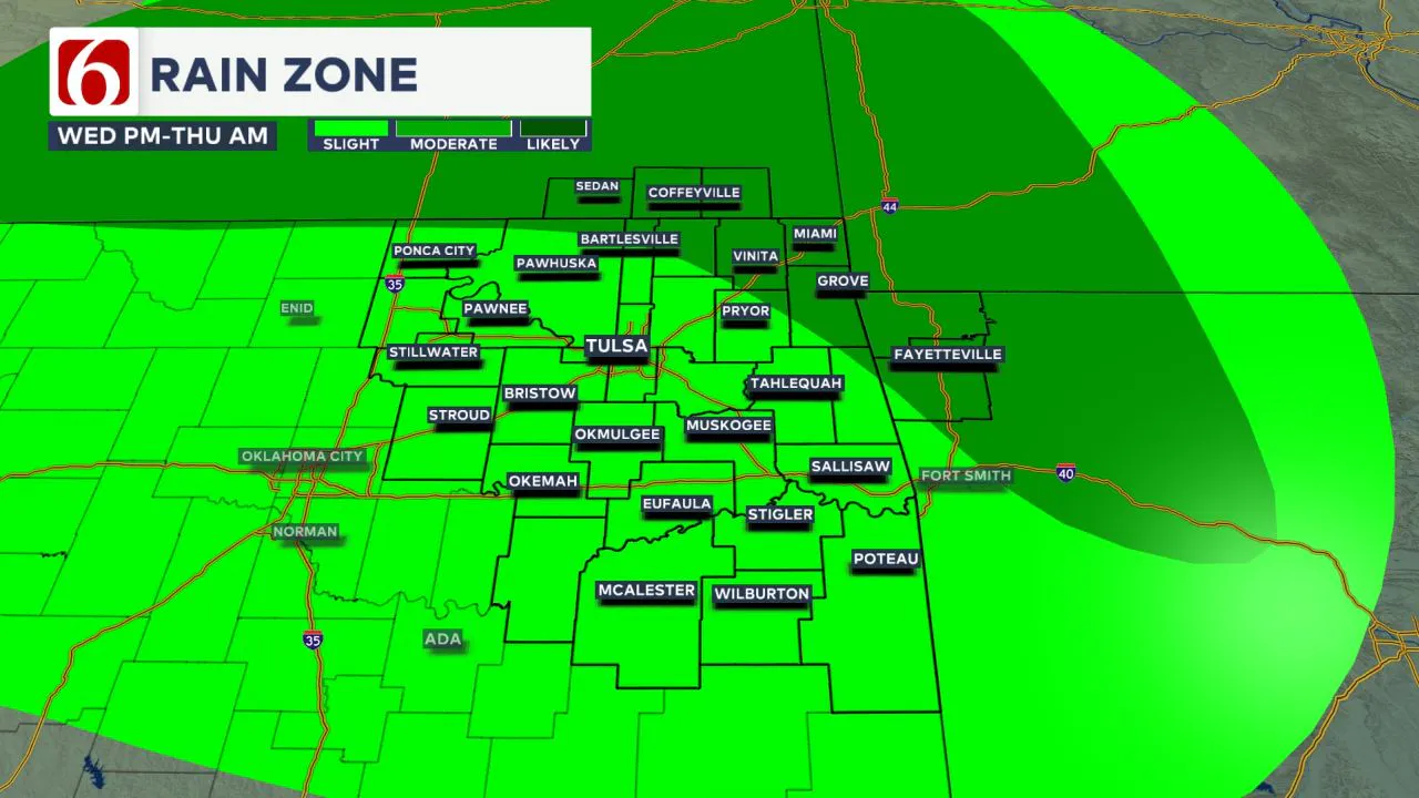
By Wednesday, the front may either fade out or lift northward as a warm front, accompanied by increasing south winds. A small but strong upper-level system will move from southern Colorado into the central Plains late Wednesday night into early Thursday morning bringing a chance of thunderstorms across northern Oklahoma and portions of Kansas. Forecast models suggest instability may be somewhat low, but enough wind shear in the atmosphere could support a few strong to severe storms.
Easter Weekend Could Feature More Storms
A surface cold front will move through Wednesday night and Thursday bringing a mostly stable atmosphere Friday and Saturday. However, the upper-level pattern is likely to bring another storm system near the state by late Easter weekend. This could mean additional thunderstorms either on Easter Sunday or shortly after into the following week.
The Morning Weather Podcast
The daily morning weather podcast briefing will remain on hold indefinitely due to ongoing internal workflow issues. We're working to resolve these challenges as soon as possible and appreciate your patience. We apologize for the inconvenience and hope to be back soon. Thank you for your understanding.
----
Need-to-know severe Oklahoma weather prep:
🔗Severe weather safety: what you need to know to prepare
🔗Tornado Watch vs. Tornado Warning: what they mean and what to do
🔗Severe weather safety: what to do before, during, and after a storm
🔗Why registering your storm shelter in Oklahoma could save your life
Emergency Info: Outages Across Oklahoma:
Northeast Oklahoma has various power companies and electric cooperatives, many of which have overlapping areas of coverage. Below is a link to various outage maps.
- PSO Outage Map
- OG&E Outage Map
- VVEC Outage Map
- Indian Electric Cooperative (IEC) Outage Map
- Oklahoma Association of Electric Cooperatives Outage Map — (Note Several Smaller Co-ops Included)
Follow the News On 6 Meteorologists on Facebook!